
Approximately 80% of the Greater Blue Mountains World Heritage Area has been affected by wildfires and it’s possible that more fires will follow before the season ends. However, the situation may not be a total catastrophe.
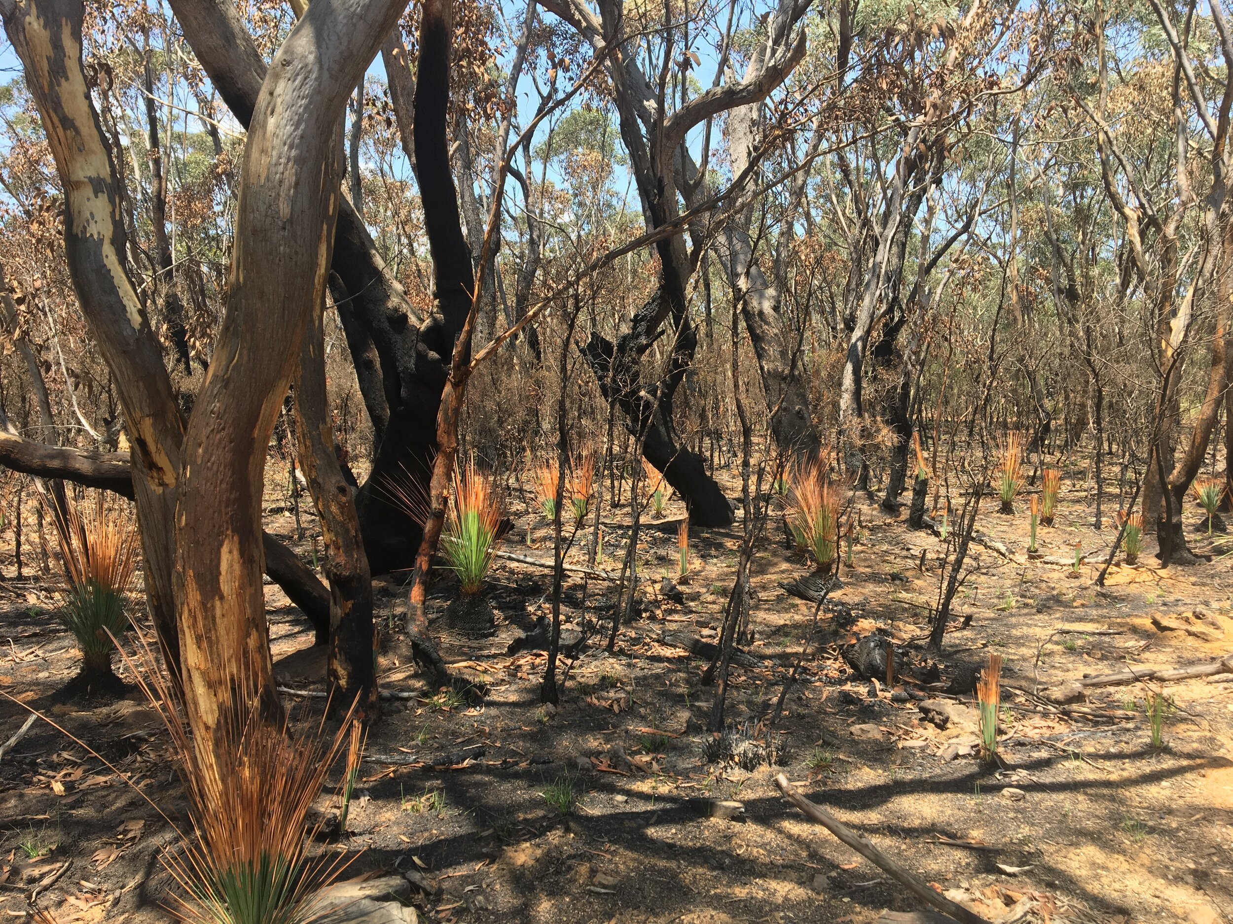
Fire has not burnt through all places equally and the impact may not be as severe as we previously thought. In several fire affected areas, the canopy was spared and we are seeing promising signs of recovery and refugia as more data become available.
WHAT WE KNOW: GBMWHA FIRE IMPACT DATA
SEED is the NSW Government’s central resource for ‘Sharing and Enabling Environmental Data’. It was developed in a collaborative effort between NSW government agencies to provide an accessible and reliable platform for environmental data. The SEED system includes a Google Earth Engine Burnt Area Map (GEEBAM).
The GEEBAM predicts how severely the tree canopy has been burnt by measuring the change in the colour of vegetation after a fire. GEEBAM is the best indicator available on how severe the impacts of recent fires are likely to be on biodiversity.
The burnt area map of the GBMWHA (below) shows that in many fire-affected areas, the canopy remained intact or was only partially affected. When the canopy remains intact, this is a promising signal of potential regrowth and refugia for both flora and fauna.

Source: Ecologist Dr Aaron Greenville, an expert member of our Springwood ecological monitoring team.
WHAT WE KNOW: ACROSS AUSTRALIA
IMPACT OF FIRES ACROSS NSW
Scientists in the NSW Department of Planning, Industry and the Environment are working to provide the best available information and data to understand how the 2019-20 fires are impacting the New South Wales environment and communities.
Based on the data currently available, which considers the relative severity of fires within the fire grounds identified by the RFS:
5.128 million hectares (6.4%) of NSW has been affected by the wildfires. The severity of fire within this total area varies.
More than 35% of the national park estate has been impacted. In key bioregions, the figure is well over 40%.
More than 80% of the World Heritage listed Greater Blue Mountains Area and 54% of the NSW components of the Gondwana Rainforests of Australia World Heritage property have been affected by fire.
The most affected ecosystems are rainforests (35% of their statewide extent), wet sclerophyll forests (41%) and heathlands (53%).
More than 60 threatened fauna species have been affected by the fires, including 32 species for which 30% or more of all recorded locations occur in the burn areas.
Read more about impacts on national parks, biodiversity and threatened species on the NSW Department of Planning, Industry and the Environment website.

Signs of regeneration after fire around the Fairfax Heritage Track in the Blue Mountains National Park.
WILDLIFE AND THREATENED SPECIES SURVIVAL RATES
In late January, the Australian Department of the Environment and Energy released an initial list of threatened and migratory species with more than 10% of their known or predicted distribution in bushfire-affected areas in southern and eastern Australia.
Preliminary results indicate that:
49 listed threatened species have more than 80% of their modelled likely or known distribution within the fire extent
65 listed threatened species have more than 50%, but less than 80%, of their modelled likely or known distribution within the fire extent
77 listed threatened species have more than 30%, but less than 50%, of their modelled likely or known distribution within the fire extent
136 listed threatened species and 4 listed migratory species have more than 10%, but less than 30%, of their modelled likely or known distribution within the fire extent.
Read more and download the resource documents on the Australian Department of the Environment and Energy website.

Image: Reuters graphical analysis
Reuters have also prepared a comprehensive graphical analysis of more than 1,400 species affected by the Australian fires, highlighting the areas, habitats and species hit the hardest.
The analysis of fires since September 1st 2019 shows the habitats of hundreds of Australia’s land mammals, amphibians and reptiles have suffered from the fires. Many species, including some that are critically endangered, have seen large swathes of their environment destroyed. Some of these species have had the majority of their territory wiped out, raising fears of extinction. Read more on the original article published on the Reuters website.
WHAT NEEDS TO HAPPEN IN THE GBMWHA
The full impact assessment and recovery of the 800,00+ affected hectares of the Blue Mountains World Heritage Area will require a long-term, large-scale post-fire monitoring and protection plan, based on evidence and created in collaboration with a cross-section of scientists and land management experts.
A project of this magnitude will require funding, partnerships and support from key government agencies at the state and federal levels.
We are talking with representatives from relevant conservation, land management and government organisations about holding preliminary fire impact assessment and fire management forums. We hope to be able to confirm and share the details of these events soon. In tandem with these talks, we are also preparing a proposal for a comprehensive assessment and recovery project, that we hope to run in collaboration with these same key organisations.
WHAT WE’RE DOING IN THE MEANTIME
With fires still burning across the state, and the ACT having just declared a state of emergency, we anticipate that our land management, fire and rescue services will be prioritising fire management, national park management, wildlife rescue and ensuring human safety until at least the end of February.
So, we asked ourselves, how can BMWHI be most helpful during this period?
In these early stages of recovery after the fire, we are committed to monitoring and assessing the impact of fire as well as signs of regeneration across as much of the GBMWHA as possible.
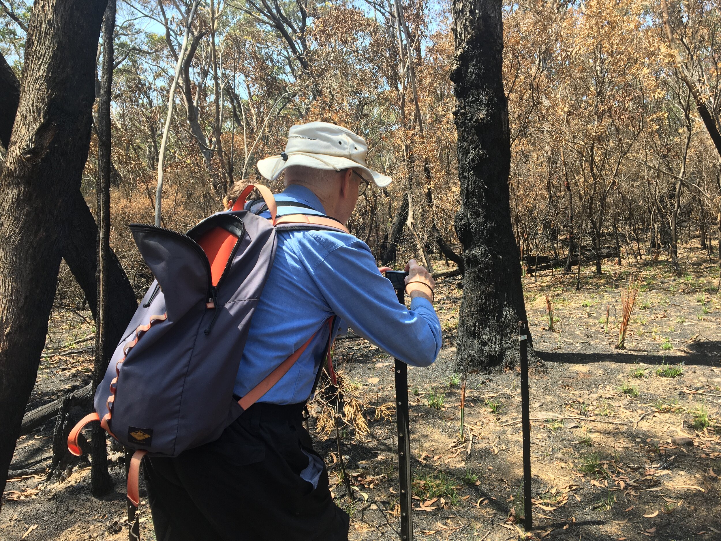
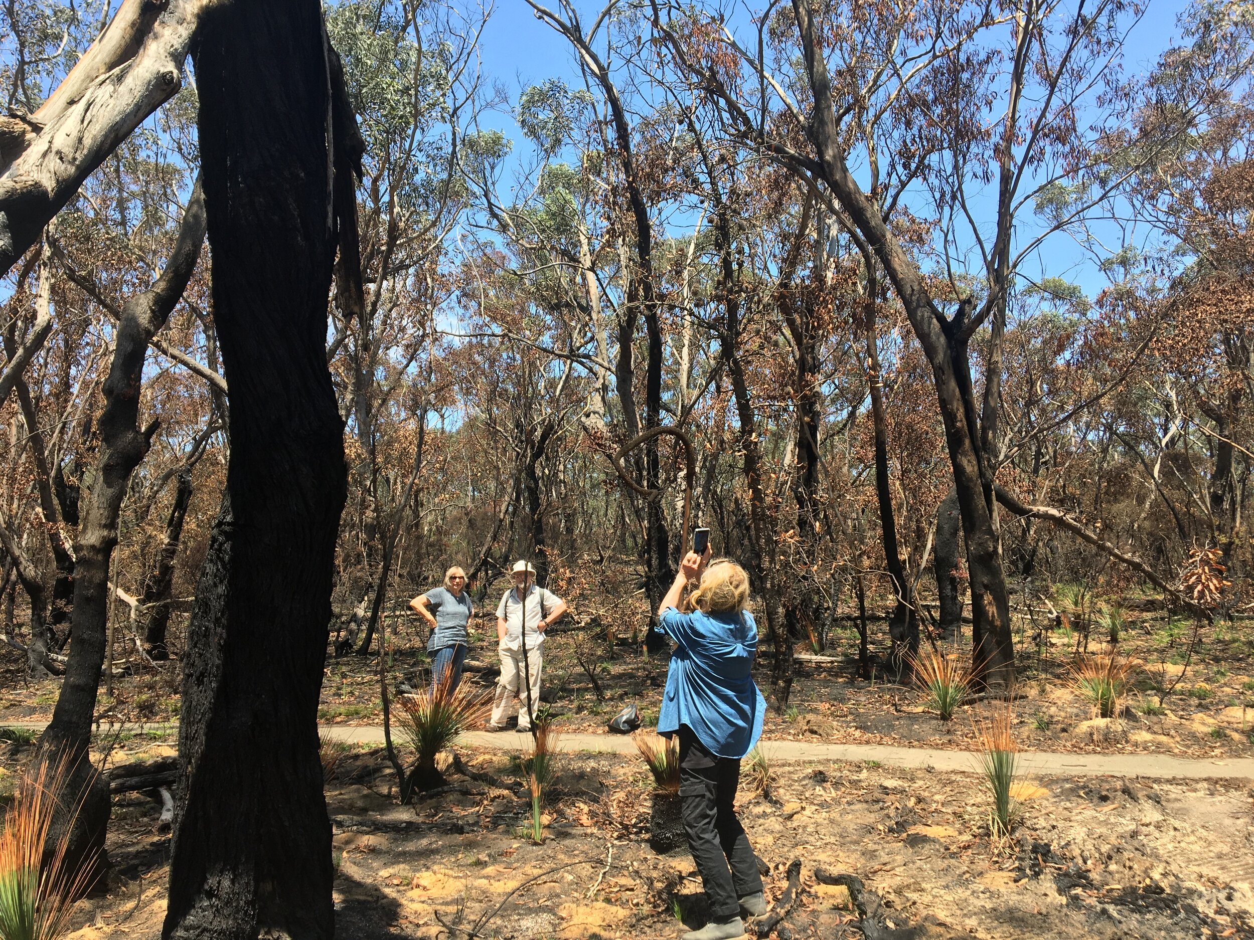
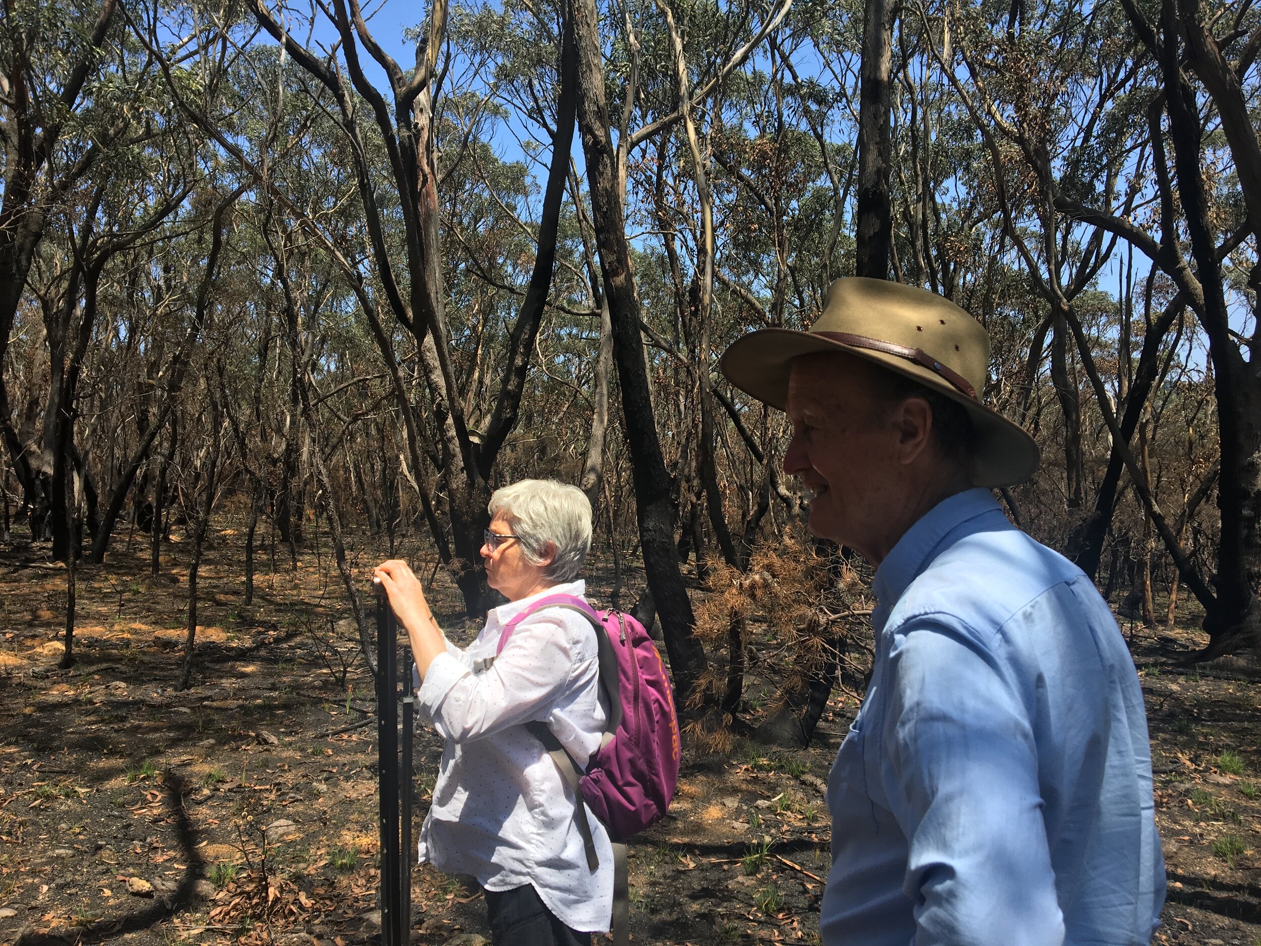
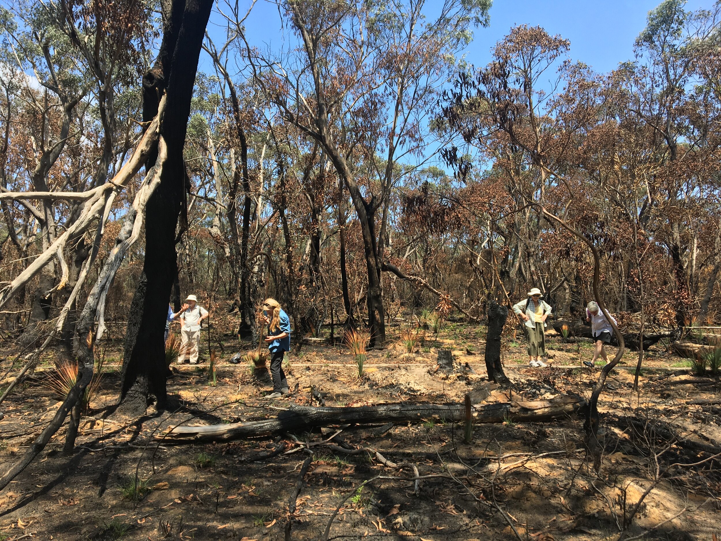
Our citizen science ecological monitoring teams are now heading back into the field to re-establish our camera traps and static photo points. We have and will continue to capture valuable before and after photos of our monitoring sites.
We used the down-time during the fires to review and upgrade our monitoring methodology (in conjunction with ecologists Rob Smith, Jan Allen and Wyn Jones) to include grid transects, field book notes and more sites. We also investigated and mapped out the best potential monitoring sites across the GBMWHA, ensuring a cross section of different landscapes and ecosystems and increasing our chances of capturing a broader diversity of fauna on our camera traps.
We will work on setting up these new monitoring sites and training our various teams on our upgraded monitoring methodology over the coming months.
We will also continue to encourage citizen scientist documentation of flora and fauna using our own BioCollect database app, the iNaturalist Bushfire Recovery Project app and the BioCollect Dead Tree Detective app.
JOIN THE RECOVERY EFFORTS
There are many helpful things you can do right now to help the ongoing recovery of the Blue Mountains.
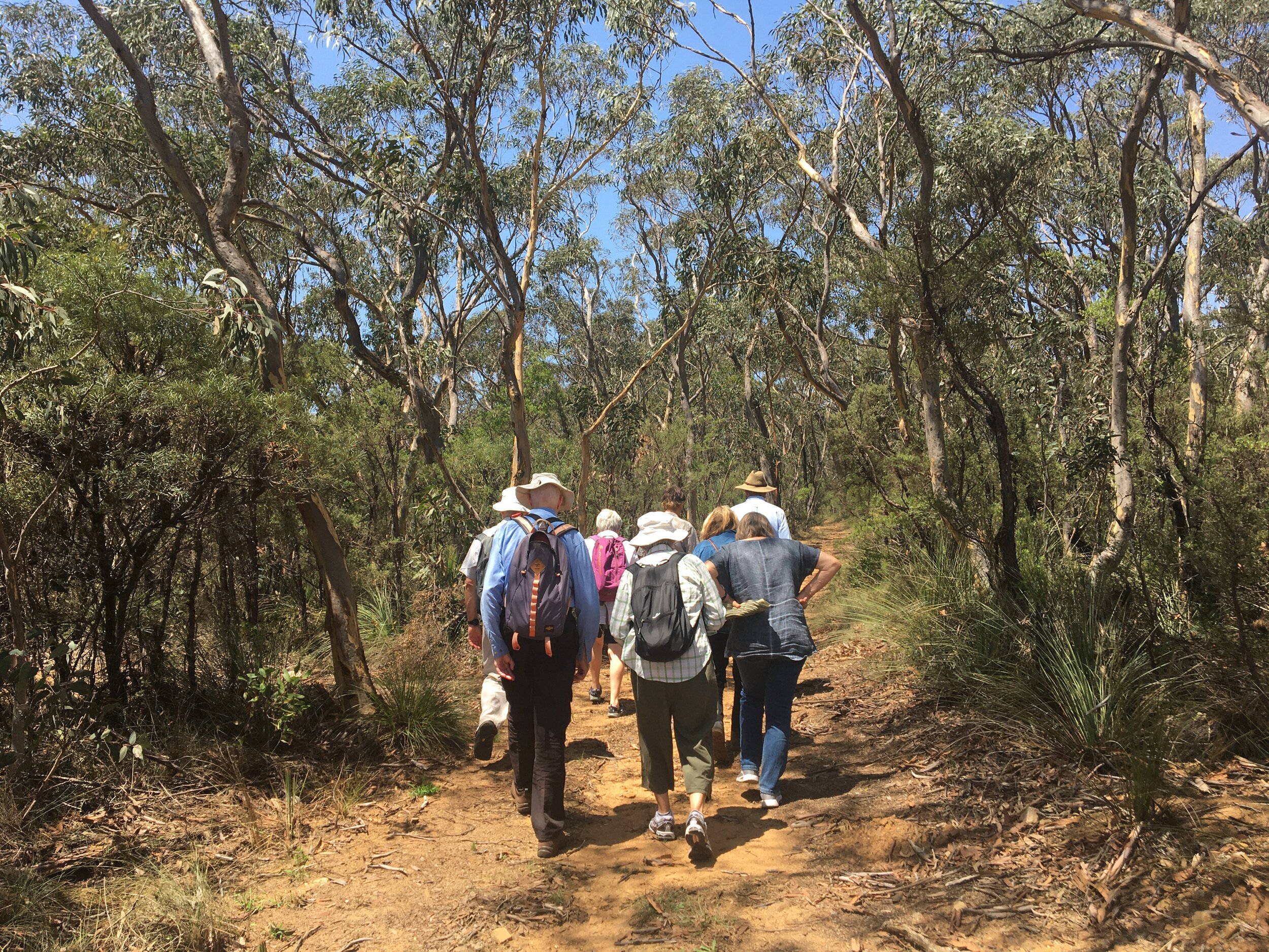
Register your interest to join our recovery efforts as a citizen scientist or as an expert researcher. You can also volunteer with our existing ecological monitoring project, joining citizen conservationists on enjoyable weekly monitoring expeditions across the mountains.
Register your interest to get involved with BMWHI.Join your local Blue Mountains Bushcare group. Professor Don Driscoll’s latest piece for The Conservation tells us that pulling out weeds is the best thing you can do to help nature recover after the fires. The Blue Mountains City Council Bushcare program is all about the restoration of bushland reserves by volunteers. Volunteers are involved in looking after the native bush, plant identification, fauna monitoring, weed control and seed collection. Learn more about Blue Mountains Bushcare.
Simply go out walking of your own accord and use citizen science apps on your phone to record flora, fauna, signs of dead trees and signs of recovery. Citizen science projects we encourage you to participate in: